Choose Which Site You Want To See


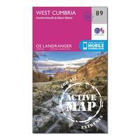
Ordnance Survey Landranger Active 89 West Cumbria, Cockermouth & Wast Water Map With Digital Version - Orange, Orange: The OS Landranger Map is the ideal map for planning the perfect day out. This best known national map series provides...
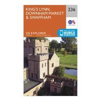
Ordnance Survey Explorer 236 King\'s Lynn, Downham Market & Swaffham Map With Digital Version, Orange: The essential map for outdoor activities in King\'s Lynn, Downham Market and Swaffham. The OS Explorer Map is the...

Ordnance Survey Explorer 236 King\'s Lynn, Downham Market & Swaffham Map With Digital Version, Orange: The essential map for outdoor activities in King\'s Lynn, Downham Market and Swaffham. The OS Explorer Map is the...
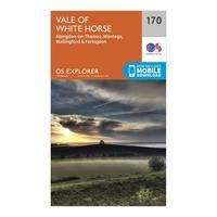
Ordnance Survey Explorer 170 Abingdon, Wantage & Vale Of White Horse Map With Digital Version, Orange: The essential map for outdoor activities in Abingdon, Wantage and Vale of White Horse. The OS Explorer Map is the...
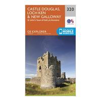
Ordnance Survey Explorer 320 Castle Douglas, Loch Ken & New Galloway Map With Digital Version, Orange: The essential map for outdoor activities in Castle Douglas, Loch Ken and New Galloway. The OS Explorer Map is the...
Ordnance Survey Explorer 258 Stoke-on-trent & Newcastle-under-lyme Map With Digital Version, Orange: The essential map for outdoor activities in Stoke-on-Trent and Newcastle-under-Lyme. The OS Explorer Map is the...
Ordnance Survey Explorer 264 Vale Of Clwyd, Rhyl, Denbigh & Ruthin Map With Digital Version, Orange: The essential map for outdoor activities in Vale of Clwyd, Rhyl, Denbigh and Ruthin. The OS Explorer Map is the...
Ordnance Survey Explorer 430 Loch Monar, Glen Cannich & Glen Strathfarrar Map With Digital Version, Orange: The essential map for outdoor activities in Loch Monar, Glen Cannich and Glen Strathfarrar. The OS Explorer Map is the...
Ordnance Survey Explorer Active 462 Orkney - Hoy, South Walls & Flotta Map With Digital Version, Orange: The essential map for outdoor activities in all weathers in Orkney - Hoy, South Walls & Flotta. The OS Explorer Active...
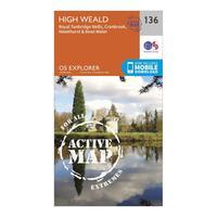
Ordnance Survey Explorer Active 136 High Weald & Royal Tunbridge Wells Map With Digital Version, Orange: The essential map for outdoor activities in all weathers in High Weald and Royal Tunbridge Wells. The OS Explorer...
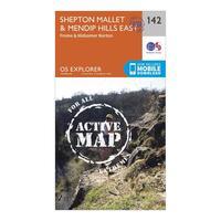
Ordnance Survey Explorer Active 142 Shepton Mallet & Mendip Hills East Map With Digital Version, Orange: The essential map for outdoor activities in all weathers in Shepton Mallet and Mendip Hills East. The OS Explorer...
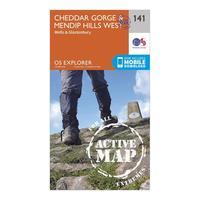
Ordnance Survey Explorer Active 141 Cheddar Gorge & Mendip Hills West Map With Digital Version, Orange: The essential map for outdoor activities in all weathers in Cheddar Gorge and Mendip Hills West. The OS Explorer Active...
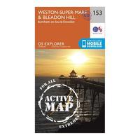
Ordnance Survey Explorer Active 153 Weston-super-mare & Bleadon Hill Map With Digital Version, Orange: The essential map for outdoor activities in all weathers in Weston-Super-Mare and Bleadon Hill. The OS Explorer Active...
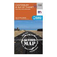
Ordnance Survey Explorer Active 150 Canterbury & The Isle Of Thanet Map With Digital Version, Orange: The essential map for outdoor activities in all weathers in Canterbury and The Isle of Thanet. The OS Explorer Active...
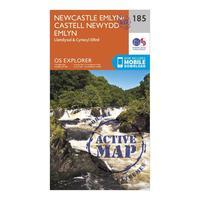
Ordnance Survey Explorer Active 185 Newcastle Emlyn, Llandysul & Cynwyl Elfed Map With Digital Version, Orange: The essential map for outdoor activities in all weathers in Newcastle Emlyn, Llandysul and Cynwyl Elfed. The OS...
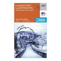
Ordnance Survey Explorer Active 187 Llandovery, Llanwrtyd Wells & Lyn Brianne Map With Digital Version, Orange: The essential map for outdoor activities in all weathers in Llandovery, Llanwrtyd Wells and Lyn Brianne. The OS...
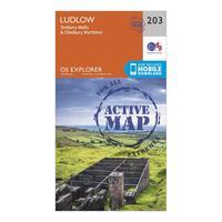
Ordnance Survey Explorer Active 203 Ludlow, Tenbury Wells & Cleobury Mortimer Map With Digital Version, Orange: The essential map for outdoor activities in all weathers in Ludlow, Tenbury Wells and Cleobury Mortimer. The OS...
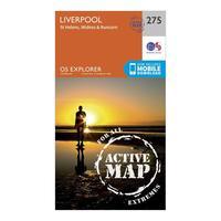
Ordnance Survey Explorer Active 275 Liverpool, St Helens, Widnes & Runcorn Map With Digital Version, Orange: The essential map for outdoor activities in all weathers in Liverpool, St Helens, Widnes and Runcorn. The OS Explorer...
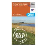
Ordnance Survey Explorer Active 280 Isle Of Axholme, Scunthorpe & Gainsborough Map With Digital Version, Orange: The essential map for outdoor activities in all weathers in Isle of Axholme, Scunthorpe and Gainsborough. The OS...
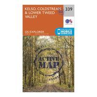
Ordnance Survey Explorer Active 339 Kelso, Coldstream & Lower Tweed Valley Map With Digital Version, Orange: The essential map for outdoor activities in all weathers in Kelso, Coldstream and Lower Tweed Valley. The OS Explorer...
