Choose Which Site You Want To See


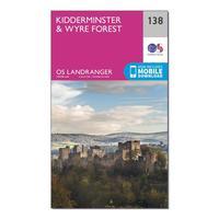
Ordnance Survey Landranger 138 Kidderminster & Wyre Forest Map With Digital Version, Orange: The OS Landranger Map is the ideal map for planning the perfect day out. This best known national map series provides...

Ordnance Survey Landranger Active 120 Mansfield & Worksop, Sherwood Forest Map With Digital Version, Orange: The OS Landranger Map is the ideal map for planning the perfect day out. This best known national map series provides...

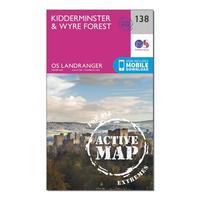
Ordnance Survey Landranger Active 138 Kidderminster & Wyre Forest Map With Digital Version, Orange: The OS Landranger Map is the ideal map for planning the perfect day out. This best known national map series provides...

Ordnance Survey Landranger 120 Mansfield & Worksop, Sherwood Forest Map With Digital Version, Orange: The OS Landranger Map is the ideal map for planning the perfect day out. This best known national map series provides...
Ordnance Survey Landranger 138 Kidderminster & Wyre Forest Map With Digital Version, Orange: The OS Landranger Map is the ideal map for planning the perfect day out. This best known national map series provides...

Ordnance Survey Landranger 120 Mansfield & Worksop, Sherwood Forest Map With Digital Version, Orange: The OS Landranger Map is the ideal map for planning the perfect day out. This best known national map series provides...
Ordnance Survey Landranger Active 138 Kidderminster & Wyre Forest Map With Digital Version, Orange: The OS Landranger Map is the ideal map for planning the perfect day out. This best known national map series provides...

Ordnance Survey Landranger Active 120 Mansfield & Worksop, Sherwood Forest Map With Digital Version, Orange: The OS Landranger Map is the ideal map for planning the perfect day out. This best known national map series provides...
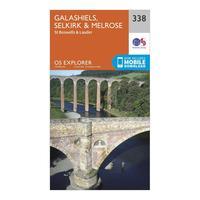
Ordnance Survey Explorer 338 Galashiels, Selkirk & Melrose Map With Digital Version, Orange: The essential map for outdoor activities in Galashiels, Selkirk and Melrose. The OS Explorer Map is the Ordnance...
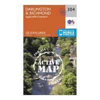
Ordnance Survey Explorer Active 304 Darlington & Richmond Map With Digital Version, Orange: The essential map for outdoor activities in all weathers in Darlington and Richmond. The OS Explorer Active Map is the...
Ordnance Survey Explorer Active 147 Sevenoaks & Tonbridge Map With Digital Version, Orange: The essential map for outdoor activities in all weathers in Sevenoaks and Tonbridge. The OS Explorer Active Map is the...
Ordnance Survey Explorer 250 Norfolk Coast West Map With Digital Version, Orange: The essential map for outdoor activities in Norfolk Coast West. The OS Explorer Map is the Ordnance Survey\'s most...
Ordnance Survey Explorer 114 Exeter & The Exe Valley Map With Digital Version, Orange: The essential map for outdoor activities in Exeter and The Exe Valley. The OS Explorer Map is the Ordnance Survey\'s...
Ordnance Survey Explorer 111 Bude, Boscastle & Tintagel Map With Digital Version, Orange: The essential map for outdoor activities in Bude, Boscastle and Tintagel. The OS Explorer Map is the Ordnance Survey\'s...
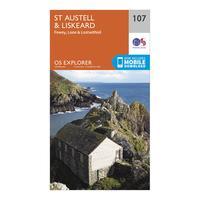
Ordnance Survey Explorer 107 St Austell & Liskeard Map With Digital Version, Orange: The essential map for outdoor activities in St Austell and Liskeard. The OS Explorer Map is the Ordnance Survey\'s most...
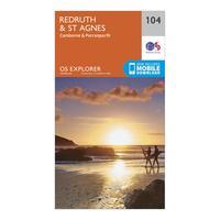
Ordnance Survey Explorer 104 Redruth & St Agnes Map With Digital Version, Orange: The essential map for outdoor activities in Redruth and St Agnes. The OS Explorer Map is the Ordnance Survey\'s most...
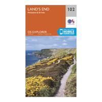
Ordnance Survey Explorer 102 Land\'s End Map With Digital Version, Orange: The essential map for outdoor activities in Land\'s End. The OS Explorer Map is the Ordnance Survey\'s most detailed...
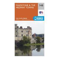
Ordnance Survey Explorer 148 Maidstone & The Medway Towns Map With Digital Version, Orange: The essential map for outdoor activities in Maidstone and The Medway Towns. The OS Explorer Map is the Ordnance...
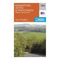
Ordnance Survey Explorer 144 Basingstoke, Alton & Whitchurch Map With Digital Version, Orange: The essential map for outdoor activities in Basingstoke, Alton and Whitchurch. The OS Explorer Map is the Ordnance...
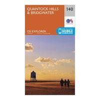
Ordnance Survey Explorer 140 Quantock Hills & Bridgwater Map With Digital Version, Orange: The essential map for outdoor activities in Quantock Hills and Bridgwater. The OS Explorer Map is the Ordnance...
