
Ordnance Survey Explorer 208 Bedford, St Neots, Sandy & Biggleswa...
Ordnance Survey Explorer 208 Bedford, St Neots, Sandy & Biggleswade Map With Digital Version, Orange: The essential map for outdoor activities in Bedford, St Neots, Sandy and Biggleswade. The OS Explorer Map is the...

Ordnance Survey Explorer 208 Bedford, St Neots, Sandy & Biggleswa...
Ordnance Survey Explorer 208 Bedford, St Neots, Sandy & Biggleswade Map With Digital Version, Orange: The essential map for outdoor activities in Bedford, St Neots, Sandy and Biggleswade. The OS Explorer Map is the...

Ordnance Survey Explorer 208 Bedford, St Neots, Sandy & Biggleswa...
Ordnance Survey Explorer 208 Bedford, St Neots, Sandy & Biggleswade Map With Digital Version - Orange, Orange: The essential map for outdoor activities in Bedford, St Neots, Sandy andBiggleswade. The OS Explorer Map is the...

Ordnance Survey Explorer 208 Bedford, St Neots, Sandy & Biggleswa...
Ordnance Survey Explorer 208 Bedford, St Neots, Sandy & Biggleswade Map With Digital Version - Orange, Orange: The essential map for outdoor activities in Bedford, St Neots, Sandy andBiggleswade. The OS Explorer Map is the...

Explorer 208 Bedford, St Neots, Sandy & Biggleswade Map With Digi...
Explorer 208 Bedford, St Neots, Sandy & Biggleswade Map With Digital Version: The essential map for outdoor activities in Bedford, St Neots, Sandy and Biggleswade. The OS Explorer Map is the...
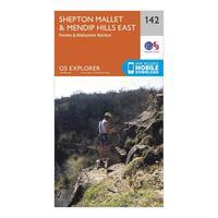
Ordnance Survey Explorer 142 Shepton Mallet & Mendip Hills East M...
Ordnance Survey Explorer 142 Shepton Mallet & Mendip Hills East Map With Digital Version, Orange: The essential map for outdoor activities in Shepton Mallet and Mendip Hills East. The OS Explorer Map is the Ordnance...
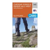
Ordnance Survey Explorer 141 Cheddar Gorge & Mendip Hills West Ma...
Ordnance Survey Explorer 141 Cheddar Gorge & Mendip Hills West Map With Digital Version, Orange: The essential map for outdoor activities in Cheddar Gorge and Mendip Hills West. The OS Explorer Map is the Ordnance...
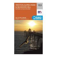
Ordnance Survey Explorer 153 Weston-super-mare & Bleadon Hill Map...
Ordnance Survey Explorer 153 Weston-super-mare & Bleadon Hill Map With Digital Version, Orange: The essential map for outdoor activities in Weston-Super-Mare and Bleadon Hill. The OS Explorer Map is the Ordnance...
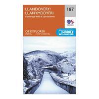
Ordnance Survey Explorer 187 Llandovery, Llanwrtyd Wells & Lyn Br...
Ordnance Survey Explorer 187 Llandovery, Llanwrtyd Wells & Lyn Brianne Map With Digital Version, Orange: The essential map for outdoor activities in Llandovery, Llanwrtyd Wells and Lyn Brianne. The OS Explorer Map is the...
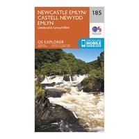
Ordnance Survey Explorer 185 Newcastle Emlyn, Llandysul & Cynwyl ...
Ordnance Survey Explorer 185 Newcastle Emlyn, Llandysul & Cynwyl Elfed Map With Digital Version, Orange: The essential map for outdoor activities in Newcastle Emlyn, Llandysul and Cynwyl Elfed. The OS Explorer Map is the...
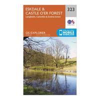
Ordnance Survey Explorer 323 Eskdale & Castle O\'er Forest Map Wi...
Ordnance Survey Explorer 323 Eskdale & Castle O\'er Forest Map With Digital Version, Orange: The essential map for outdoor activities in Eskdale and Castle O\'er Forest. The OS Explorer Map is the Ordnance...
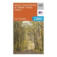
Ordnance Survey Explorer 339 Kelso, Coldstream & Lower Tweed Vall...
Ordnance Survey Explorer 339 Kelso, Coldstream & Lower Tweed Valley Map With Digital Version, Orange: The essential map for outdoor activities in Kelso, Coldstream and Lower Tweed Valley. The OS Explorer Map is the...
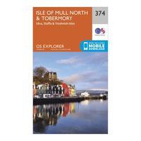
Ordnance Survey Explorer 374 Isle Of Mull North & Tobermory Map W...
Ordnance Survey Explorer 374 Isle Of Mull North & Tobermory Map With Digital Version, Orange: The essential map for outdoor activities in Isle of Mull North and Tobermory. The OS Explorer Map is the Ordnance...
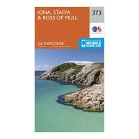
Ordnance Survey Explorer 373 Iona, Staffa & Ross Of Mull Map With...
Ordnance Survey Explorer 373 Iona, Staffa & Ross Of Mull Map With Digital Version, Orange: The essential map for outdoor activities in Iona, Staffa and Ross of Mull. The OS Explorer Map is the Ordnance...
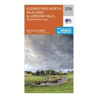
Ordnance Survey Explorer 370 Glenrothes North, Falkland & Lomond ...
Ordnance Survey Explorer 370 Glenrothes North, Falkland & Lomond Hills Map With Digital Version, Orange: The essential map for outdoor activities in Glenrothes North, Falkland and Lomond Hills. The OS Explorer Map is the...
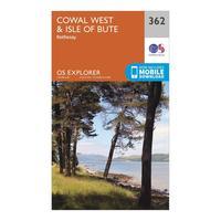
Ordnance Survey Explorer 362 Cowal West & Isle Of Bute Map With D...
Ordnance Survey Explorer 362 Cowal West & Isle Of Bute Map With Digital Version, Orange: The essential map for outdoor activities in Cowal West and Isle of Bute. The OS Explorer Map is the Ordnance Survey\'s...
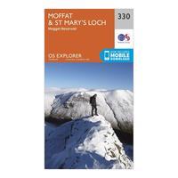
Ordnance Survey Explorer 330 Moffat & St Mary\'s Loch Map With Di...
Ordnance Survey Explorer 330 Moffat & St Mary\'s Loch Map With Digital Version, Orange: The essential map for outdoor activities in Moffat and St Mary\'s Loch. The OS Explorer Map is the Ordnance Survey\'s...
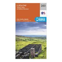
Ordnance Survey Explorer 203 Ludlow, Tenbury Wells & Cleobury Mor...
Ordnance Survey Explorer 203 Ludlow, Tenbury Wells & Cleobury Mortimer Map With Digital Version, Orange: The essential map for outdoor activities in Ludlow, Tenbury Wells and Cleobury Mortimer. The OS Explorer Map is the...
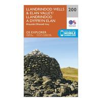
Ordnance Survey Explorer 200 Llandrindod Wells & Elan Valley & Rh...
Ordnance Survey Explorer 200 Llandrindod Wells & Elan Valley & Rhayader Map With Digital Version, Orange: The essential map for outdoor activities in Llandrindod Wells and Elan Valley and Rhayader. The OS Explorer Map is the...
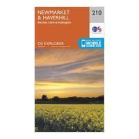
Ordnance Survey Explorer 210 Newmarket & Havehill, Barrow, Clare ...
Ordnance Survey Explorer 210 Newmarket & Havehill, Barrow, Clare & Kedington Map With Digital Version, Orange: The essential map for outdoor activities in Newmarket & Havehill, Barrow, Clare and Kedington. The OS Explorer Map is...


